China
Rental & staging
Christie Mirage HD18 projectors

China State Bureau of Geology, Survey and Mapping
Cutting-edge Christie technology helps disaster aversion efforts in China
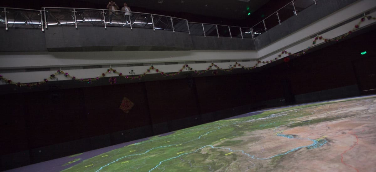
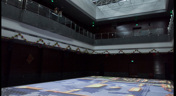
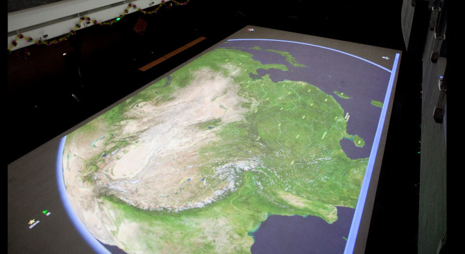
Preparedness is key when it comes to natural disasters and in China, a Christie solution is helping with the efforts to be ready for anything. The China State Bureau of Geography, Survey and Mapping is a government institute dedicated to surveying the country’s rich landscape. It provides services to aid in disaster prevention and alleviation, as well as mapping for other industries such as agriculture, forestry, water resources, environment, city planning, transportation and national defense.
The agency has chosen 4 Christie Mirage HD18 projectors to display their mapping data, housed in a five-storey building that is an ideal fit for the application. The ample square footage of the floor, almost as large as two basketball courts end-to-end, provides a perfect canvas for the satellite data that is projected from the ceiling.
“This is just the beginning of a collaborative approach to solutions between Christie Asia and Christie North America.”
Barry Lewine, Director of Sales for Visual Environments in Asia, Christie